About Bike & Pedestrian
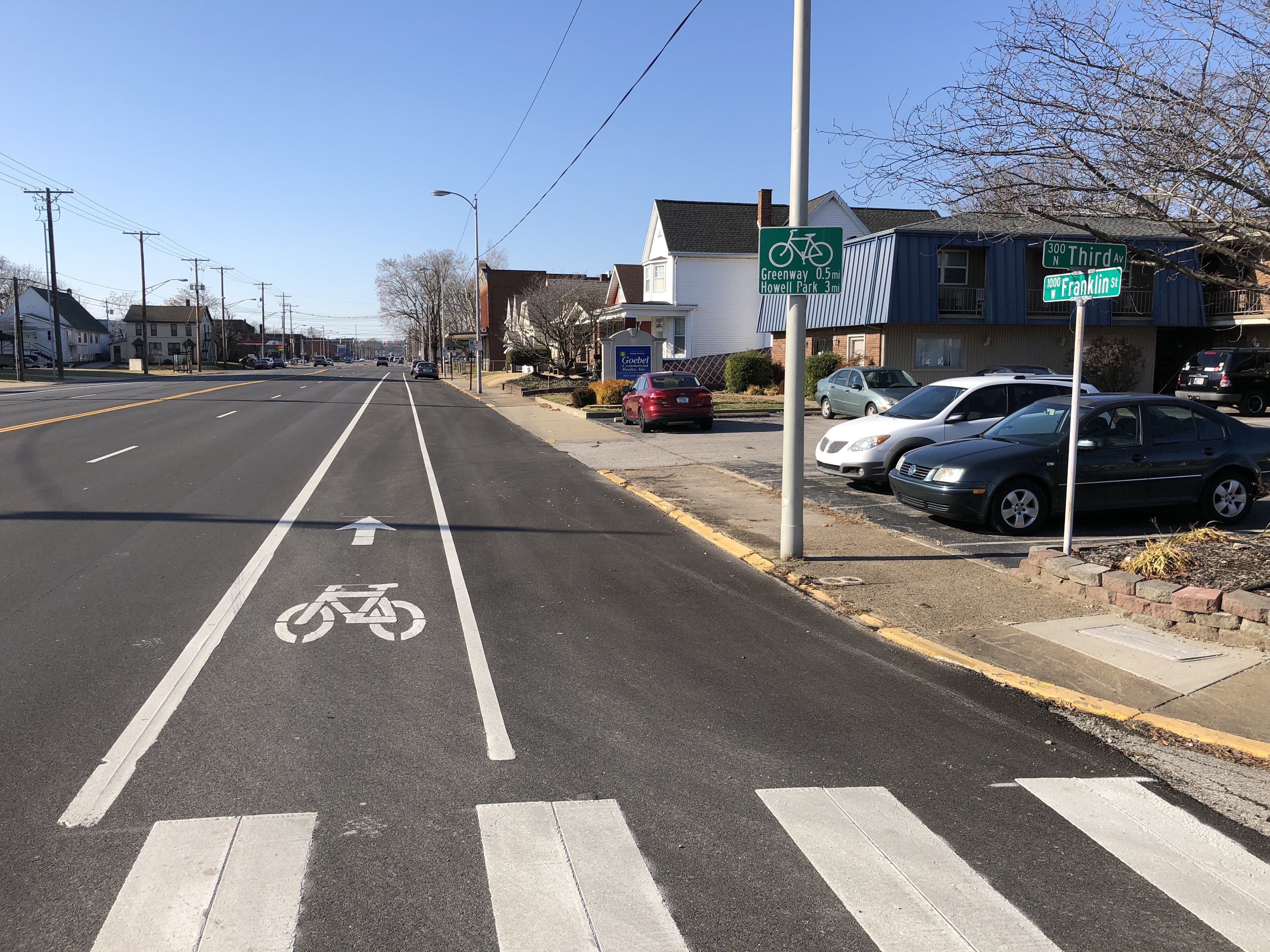
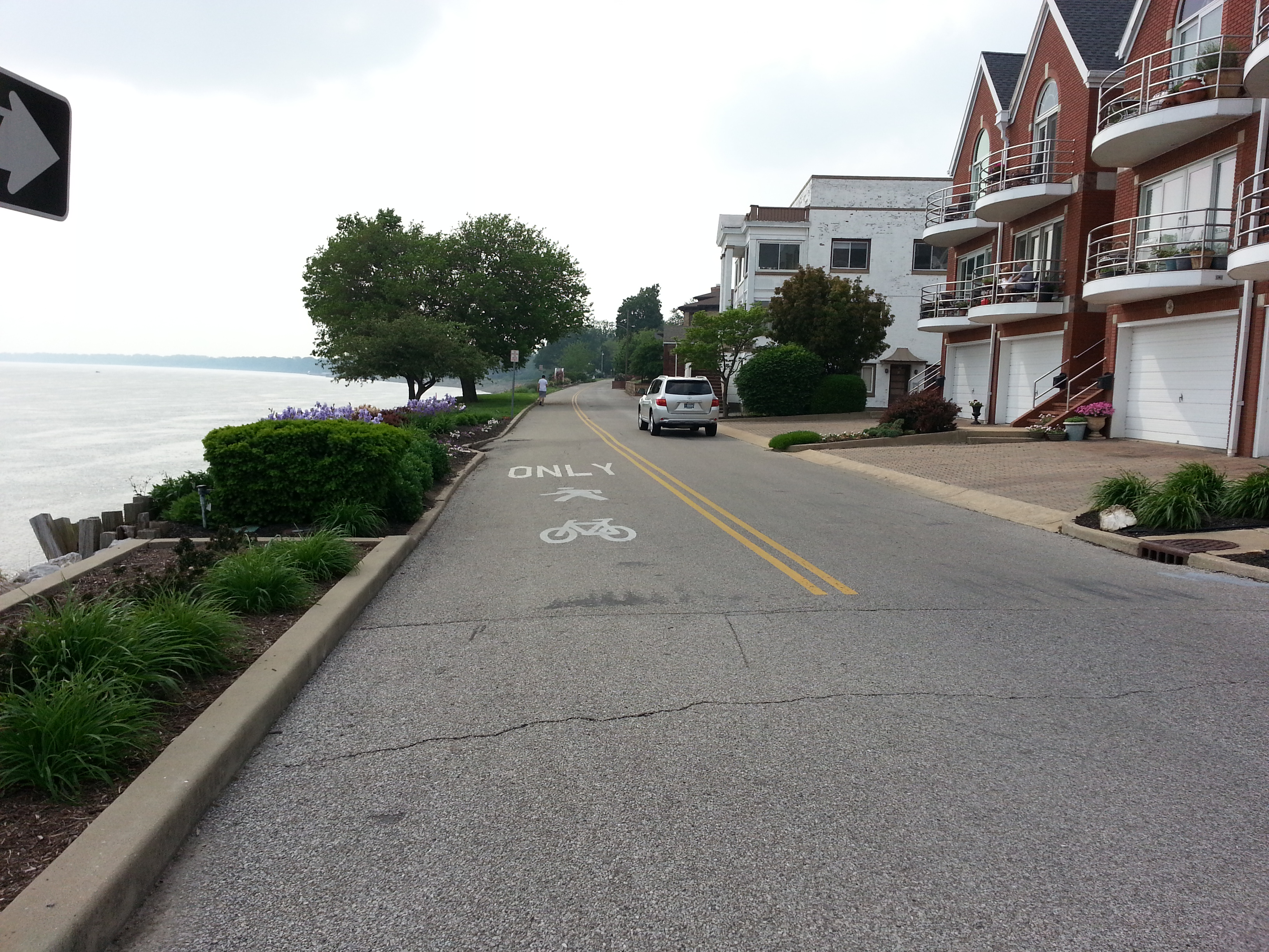
Bicycling and walking is more than just a recreational activity – it is becoming a desired form of transportation. Known as active transportation, bicycling and walking to everyday destinations have many benefits, ranging from personal health improvement to reductions in automobile congestion and pollution to creating an overall better quality of life.
The counties and communities within the MPO planning area have noticed an increase in the amount of people bicycling and walking and are taking steps to provide safe and convenient facilities. The Evansville MPO, as the federal transportation agency for the Evansville-Henderson region, assists the Local Planning Agencies in planning for bicycle and pedestrian facilities, as well as provides funding for federally-funded projects.
Current Plans
There are currently three documented plans that are guiding the bicycle and pedestrian network development: The Evansville Bicycle and Pedestrian Connectivity Master Plan, the Vanderburgh County Burkhardt Road + US 41 TIF Districts Bicycle + Pedestrian System Plan, and the Greater Henderson Bicycle and Pedestrian Master Plan.

Evansville Bicycle and Pedestrian Connectivity Master Plan (BPCMP)
The BPCMP was completed in 2015 and outlines nearly 170 miles of bicycle and pedestrian improvements in the City of Evansville. Plan development began with an extensive public outreach effort, leading the way for the network improvements. Recommended phasing, estimated project costs, policy-level recommendations, a set of Top 10 Priority Projects, and early action steps were also developed.
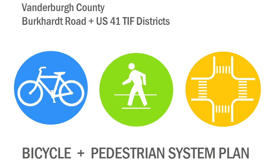
Vanderburgh County Burkhardt Road + US 41 TIF Districts Bicycle + Pedestrian System Plan
The TIF Districts Bike Plan was completed in 2012 at the request of the Vanderburgh County Commissioners. The Plan focuses on bicycle, pedestrian, and intersection improvements within the Burkhardt Road TIF District and the US 41 TIF District. Over 30 miles of network improvements are recommend in this Plan for the two TIF Districts.
View Plan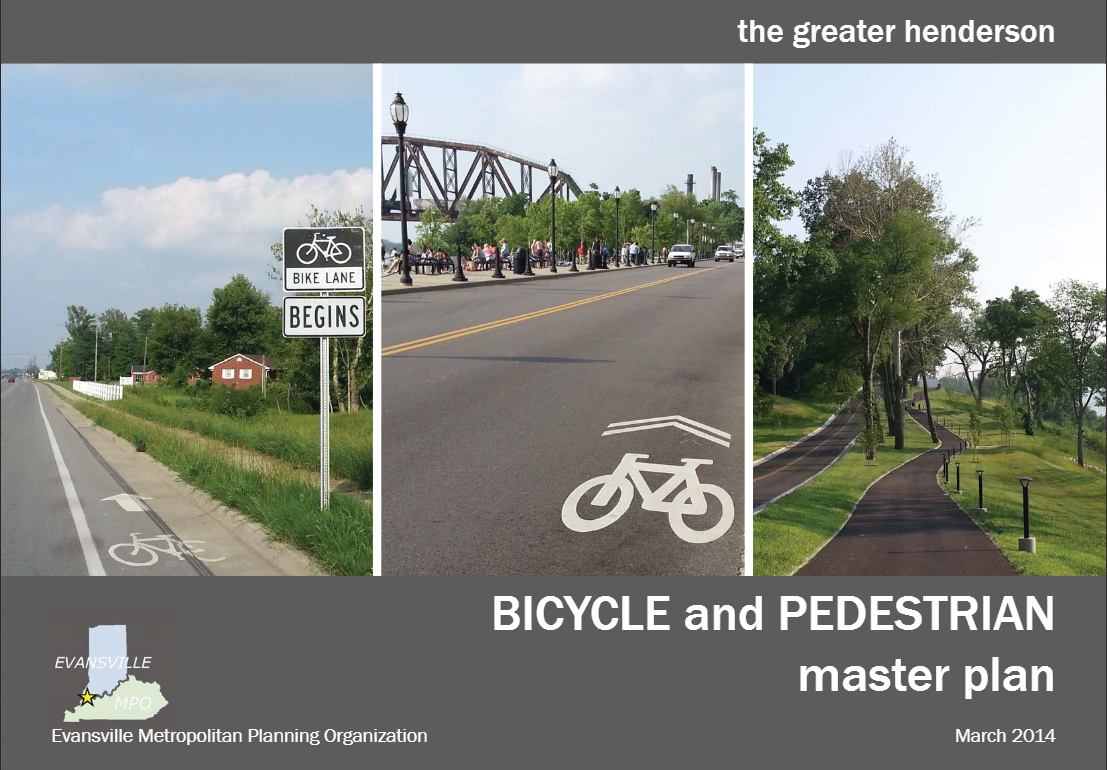
The Greater Henderson Bicycle and Pedestrian Master Plan (GHBPMP)
The GHBPMP was adopted in March 2014 by the Henderson City-County Planning Commission. The Plan recommends over 135 miles of bicycle and pedestrian facilities within Henderson and Henderson County with a three-phase implementation schedule.
View PlanMaps
Safety & Education
Complete Streets
About Complete Streets
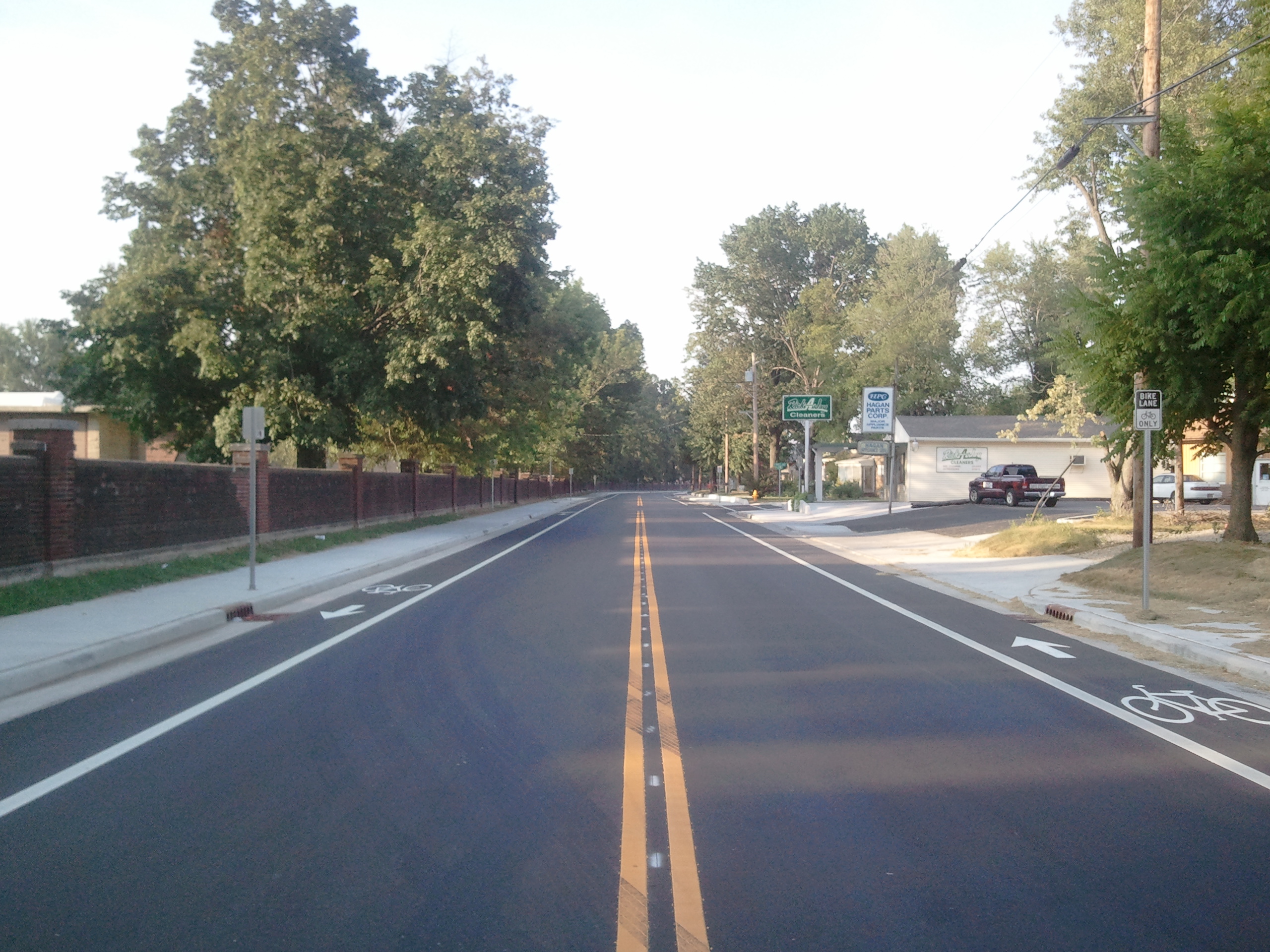
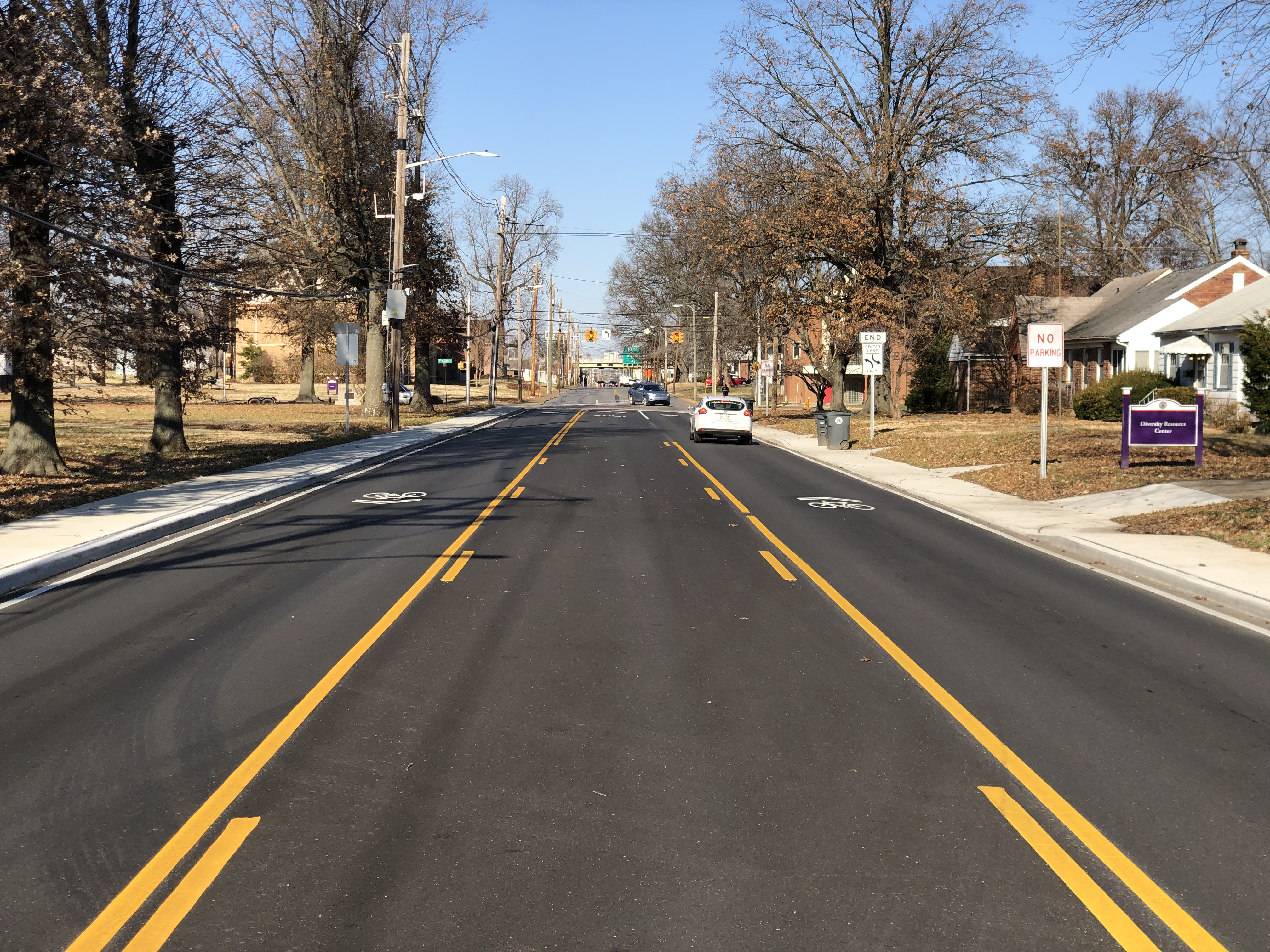
Complete streets are roadways designed to safely and comfortably accommodate all users, including but not limited to, motorists, cyclists, pedestrians, transit and school bus riders, delivery and service personnel, freight haulers, and emergency responders, and includes people of all ages, abilities, and incomes.
In order to promote a multimodal transportation system in the Evansville region, the Evansville MPO created and adopted a Complete Streets Policy in March 2012. The Policy builds on efforts taken by local jurisdictions to incorporate multimodal features into their roadway projects.
Building complete streets provides many benefits to residents, business owners, developers, and the community as a whole. First and foremost, embracing the complete streets concept will create balanced transportation systems by providing accessible, safe, and efficient connections between destinations. It will encourage economic growth and stability while increasing property values. It will ensure job growth, reduce crashes through safety improvements, improve public health and fitness, reduce harmful emissions, and reduce the overall demand on our roadways by allowing people to replace motor vehicle trips with active transportation options. Secondly, integrating sidewalks, bike facilities, transit amenities, or safe crossings into the initial design of a project spares the expense and complications of retrofits later.
Complete Streets Policy
In order to promote a multimodal transportation system in the Evansville region, the Evansville MPO created and adopted a Complete Streets Policy in March 2012. The Policy builds on efforts taken by local jurisdictions to incorporate multimodal features into their roadway projects.
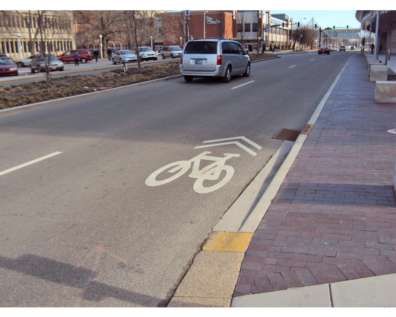
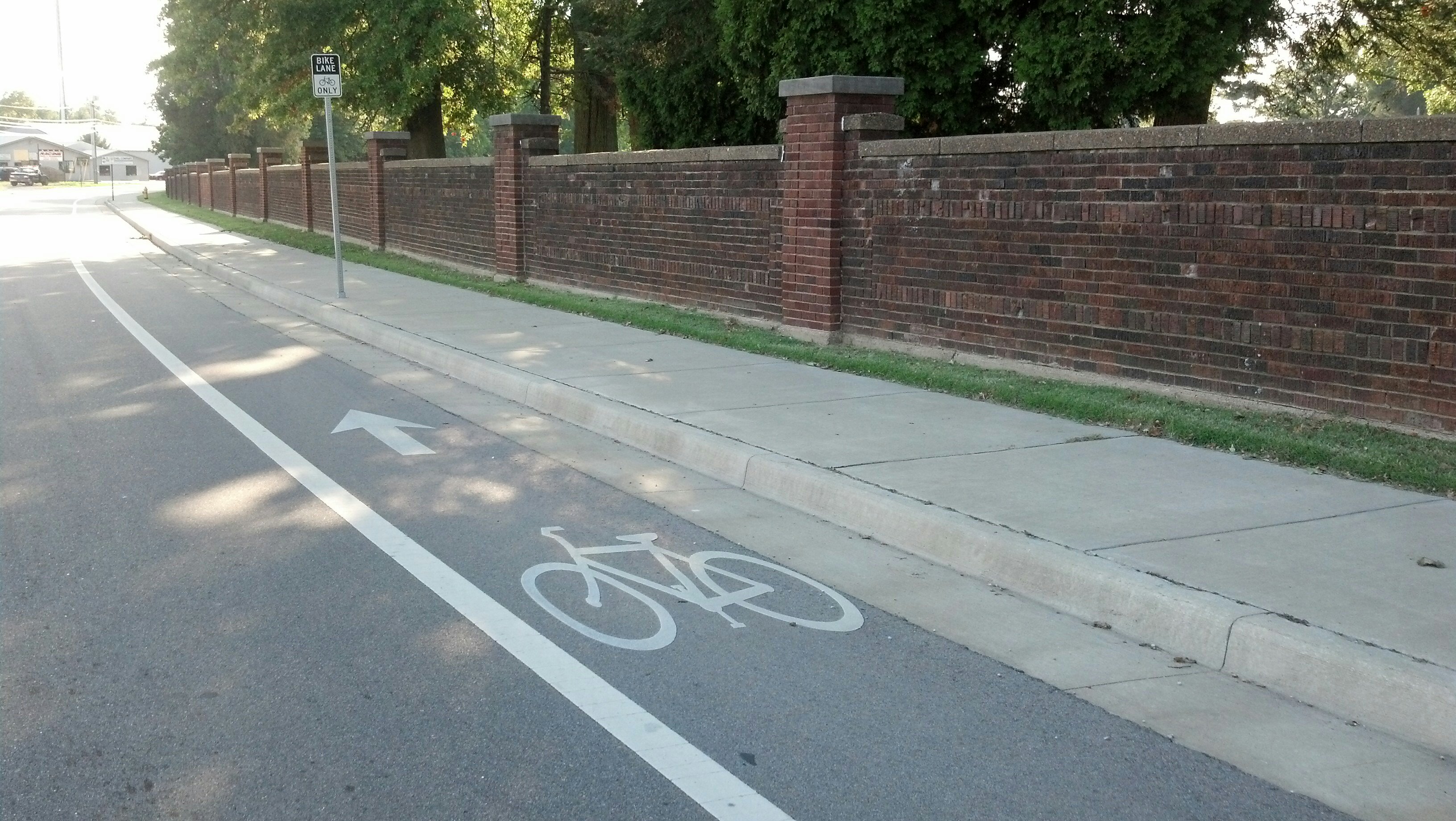
A Complete Streets Toolkit
The Complete Streets Toolkit was developed to create awareness and provide guidance on a variety of street design measures that are available to municipalities in planning and engineering a safe and comfortable complete street for all users of all abilities. The measures provided within the toolkit are examples of various treatment options that can be used to help provide alternative transportation choices to users.